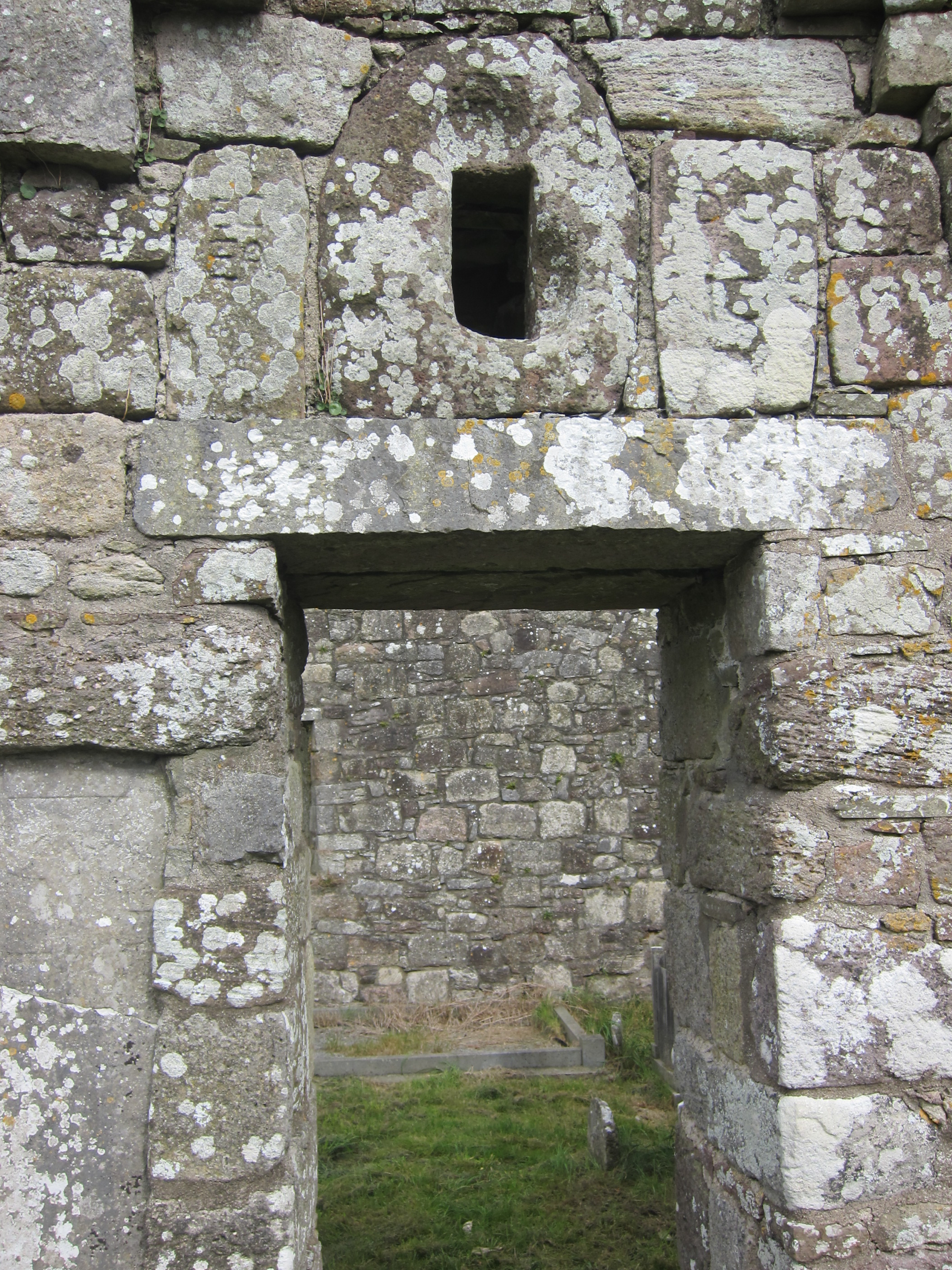
Mitchelstown,
Cork,
Ireland
Coordinates: 52.259818, -8.263854

Coordinates: 52.259818, -8.263854
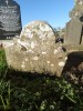
| Photo | Grave | Name | Surname |
|---|---|---|---|
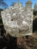 |
CO-BRGW-101 |
|
|
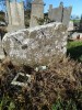 |
CO-BRGW-102 | ||
 |
CO-BRGW-103 |
|
|
 |
CO-BRGW-104 | ||
 |
CO-BRGW-105 | ||
 |
CO-BRGW-106 |
|
|
 |
CO-BRGW-107 |
|
|
 |
CO-BRGW-108 |
|
|
 |
CO-BRGW-109 |
|
|
 |
CO-BRGW-110 |
|
|
 |
CO-BRGW-111 |
|
|
 |
CO-BRGW-112 |
|
|
 |
CO-BRGW-113 | ||
 |
CO-BRGW-114 | ||
 |
CO-BRGW-115 |
|
|
 |
CO-BRGW-116 |
|
|
 |
CO-BRGW-117 |
|
|
 |
CO-BRGW-118 | ||
 |
CO-BRGW-119 | ||
 |
CO-BRGW-120 |
|
|
 |
CO-BRGW-121 |
|
|
 |
CO-BRGW-122 | ||
 |
CO-BRGW-123 | ||
 |
CO-BRGW-124 |
|
|
 |
CO-BRGW-125 |

![]()
This site has been surveyed as part of a community heritage project by Historic Graves in conjunction with the Mitchelstown Heritage Society and has been funded by the Heritage Council Grants Scheme 2011 (Heritage Education, Community & Outreach Scheme).