Longford,
Ireland
Coordinates: 53.751126, -7.614420

Description

Coordinates: 53.751126, -7.614420


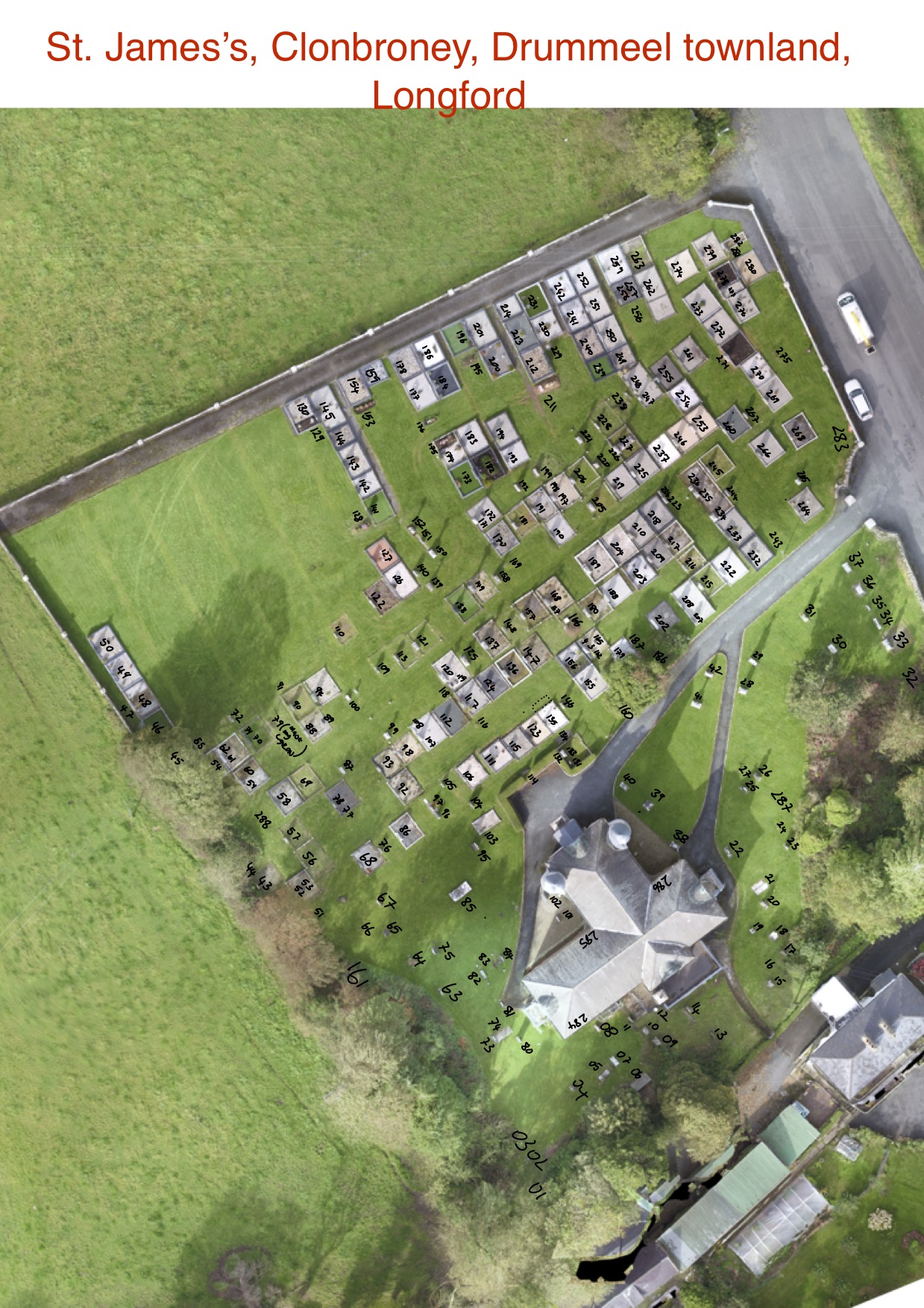
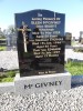
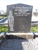
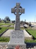
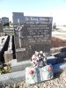
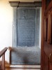
| Photo | Grave | Name | Surname |
|---|---|---|---|
 |
LF-STJM-0276 | ||
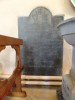
 |
LF-STJM-0277 | ||
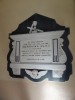
 |
LF-STJM-0278 | ||
 |
LF-STJM-0279 | ||
 |
LF-STJM-0280 | ||
 |
LF-STJM-0281 | ||
 |
LF-STJM-0282 | ||
 |
LF-STJM-0283 | ||
 |
LF-STJM-0284 |
|
|
 |
LF-STJM-0285 | ||
 |
LF-STJM-0286 |
|
|
 |
LF-STJM-0287 | ||
 |
LF-STJM-0288 |

![]()
Surveyed in 2018 by members of the local community as part of a community heritage project organised by Longford Heritage & Archives Unit and funded by the Heritage Council.