Sligo,
Ireland
Coordinates: 54.193459, -8.413685

Description
Project:

Coordinates: 54.193459, -8.413685
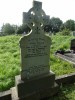
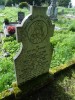
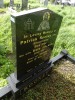
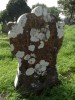
| Photo | Grave | Name | Surname |
|---|---|---|---|
 |
SL-KLRS-0101 | ||
 |
SL-KLRS-0102 |
|
|
 |
SL-KLRS-0103 | ||
 |
SL-KLRS-0104 |
|
|
 |
SL-KLRS-0105 |
|
|
 |
SL-KLRS-0106 |
|
|
 |
SL-KLRS-0107 |
|
|
 |
SL-KLRS-0108 | ||
 |
SL-KLRS-0109 | ||
 |
SL-KLRS-0110 | ||
 |
SL-KLRS-0111 | ||
 |
SL-KLRS-0112 | ||
 |
SL-KLRS-0113 |

![]()
Surveyed in 2017 as part of a community heritage project funded by Sligo County Coucil and the Heritage Council of Ireland.